Results ordered by default filtered by
13 results matching your selection
China's first earth observation satellite in GEO.
Offers 1 m high-resolution satellite imagery with an average revisit time of 12 to 16 hours.
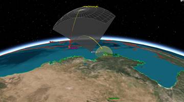
Sensing surveillance of satellites tr LEO.
"Cartographic imaging satellite capable of stereoscopic Earth photography, equipped with orbit adjustment engine to maintain height against air drag."
High resolution earth-imaging. First commercial satellite for earth observation in China.
"Will provide sub-meter class resolution optical images for city planning, road network design, land ownership determination, etc. purposes"
Sensing surveillance of satellites tr LEO.
"Being used commercially, but can provide data for disaster monitoring."
Second generation.


.png)